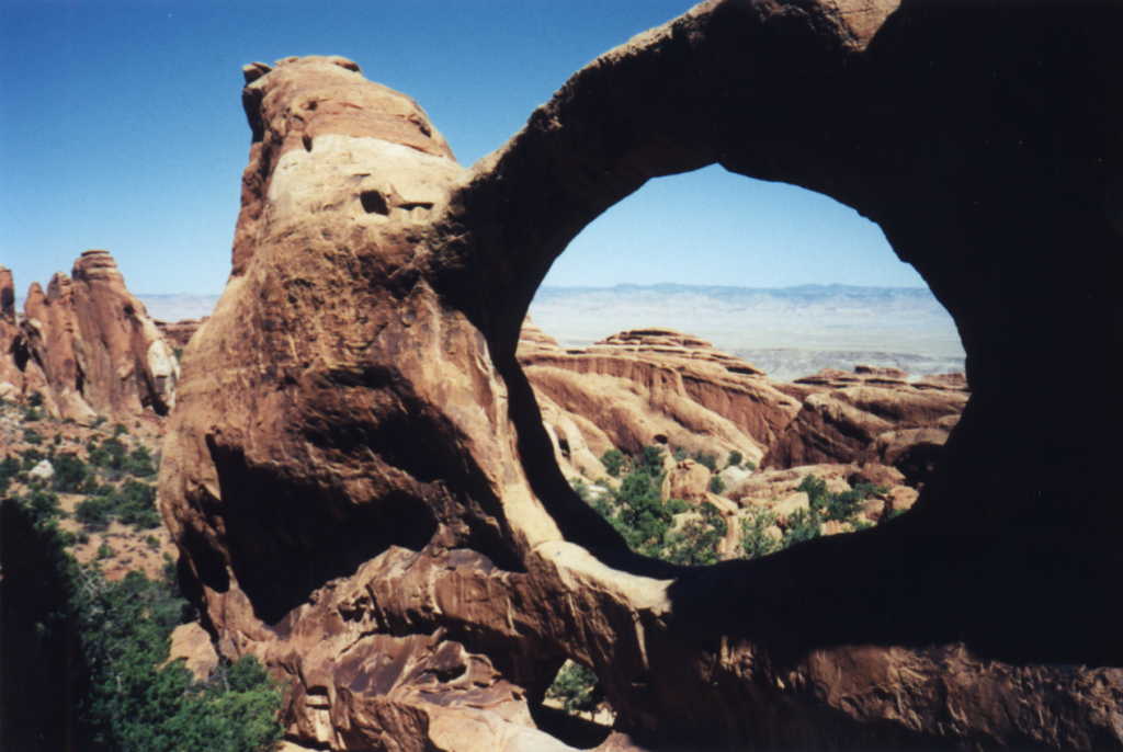
Beth
and Marvin's Miata Vacation 1998

Click on any of the thumbnail pictures below for a larger version of the image.
 I
didn't write any notes about our visit to the Island in the Sky district
of the Canyonlands National Park. I think the colder weather and the
drive in the snow had taken their toll on me and I was looking forward
to finishing the vacation. So details about most of the pictures I took
have been lost, but I put a couple of the better ones here anyway. And
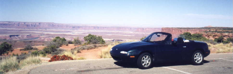
if you've been following along, you've seen this Miata picture before
(but this is where it really belongs). So, our wish for nice weather
was granted. Once again we're top-down and enjoying the grand view!
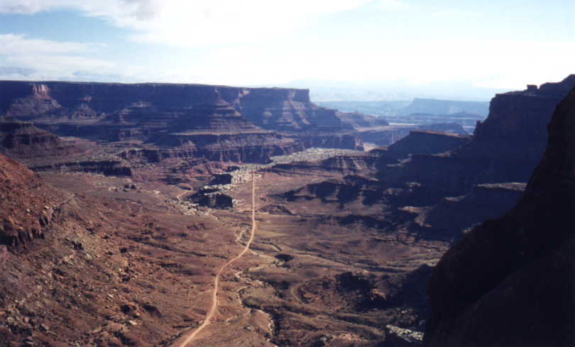 The
"island" is a high, broad mesa connected to the
"mainland" by a narrow stretch of land. The road through the
park offers several spectacular overlooks of the surrounding country,
so Island in the Sky seems to be the Canyonlands' observation tower.
This picture was taken at the Shafer Canyon Overlook, which is easily
recognizable despite my lack of notes, because of Shafer Trail Road. It
was originally a cattle trail but now is a popular 4-wheel drive route
into the northeast portion of the park and even into Dead Horse Point
State Park. If you have QuickTime VR plugin for your web browser,
you might want to check out the web page from DesertUSA
for another interesting "view" of Shafer Canyon Overlook.
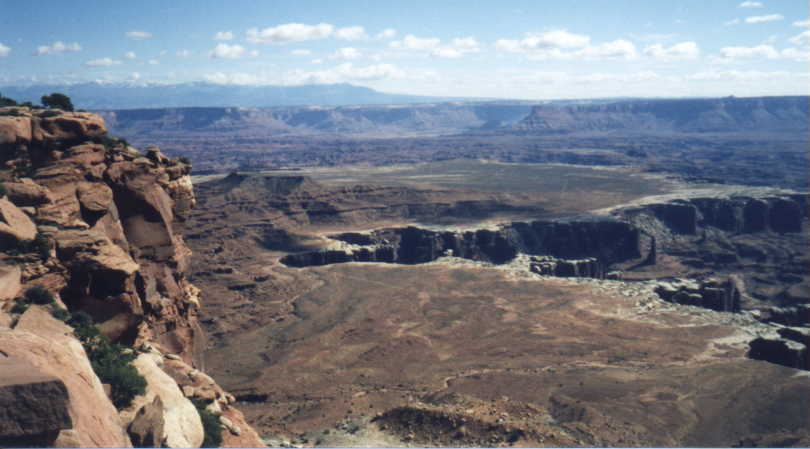 This
picture, taken from the edge of the island's mesa, shows the main
features of the landscape. The closest to the mesa's edge is the White
Rim, a nearly continuous sandstone bench 1,200 feet below the island.
Then the bench drops into sheer canyon cliffs, where the Green and
Colorado rivers flow 1,000 feet beneath the White Rim.
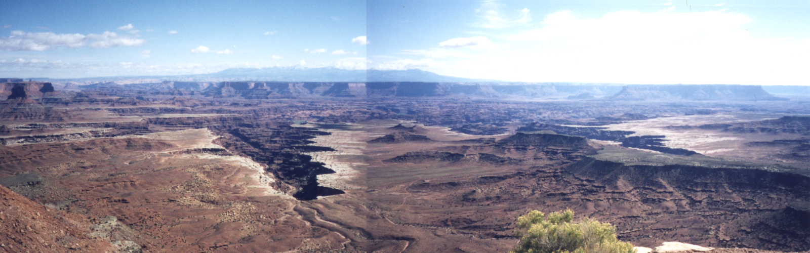 Another
one of my experimental mosaic images was taken from a different
overlook, but clearly shows the White Rim and the river's canyon walls.
(If I had taken notes, I might even know what mountain range can be
seen in the distance :-). Be warned, this is a larger image (1600 x
500, and approximately 81K bytes) than all of the other pictures on
these pages, so click on the thumbnail with that warning in mind.
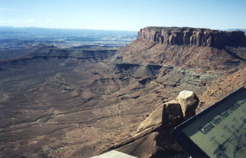 I
didn't think this picture was as nice as some of the others, but I
included it here because I know what overlook it was taken from, thanks
to the corner of the sign that appears in the image :-). The view from
this overlook is much more spectacular than this image conveys, with
vistas of over 10,000 square miles of rock, canyon, and mountain. So,
to make things a little more complete, here is a link to Melvyn
Folkards 4 picture mosaic looking east from Grand View Point
Overlook.
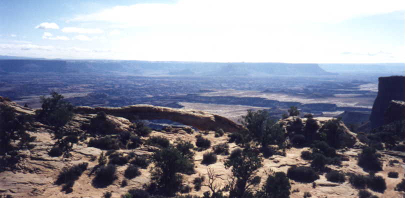
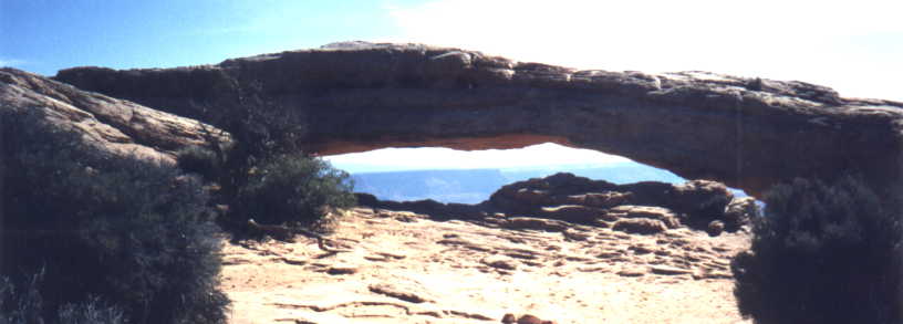 Our
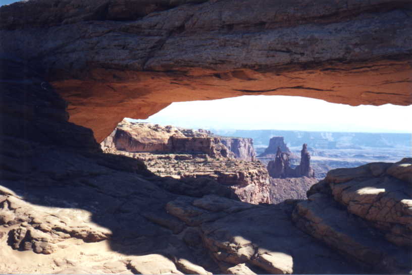
last stop in the Island in the Sky district was the Mesa Arch trail.
This Navajo Sandstone arch can be found clinging to the edge of a
canyon at the end of a .5 mile loop trail. The spire seen below the
roof of the arch in the center of the picture below, is called Washer
Woman Arch. Viewing spectacular scenery through an arch has been a
favorite photographic subject of mine this trip, and this view of Buck
Canyon through Mesa Arch is second only to the photo of Devil's Garden through the Double O Arch.
 We
have really enjoyed all of the very unique arches we have seen and
visited during the trip, I'm sure we will be back to the area in the
future to explore many of them that we missed this time around. But
here is one more little interesting story that gave us a slight scare
before leaving the Mesa Arch trailhead. I checked my pockets about 100
yards after we started hiking, and I realized I did not feel the
Miata's Pro-lock there (an electronic device that prevents the car from
starting unless it is plugged into its slot). I didn't panic, thinking
I just hadn't pulled it out of the car at this stop. But when we
returned to the car, it was not there, and a quick inventory of my
pockets revealed it definitely hadn't re-appeared there either. No
problem, we'll just use Beth's, but she had realized the day we left
home that she did not have hers with her on this trip. I began
wondering whether there were Pro-lock service people in Moab, or
whether we would just have to have the car towed back to Moab. But
since I had realized it wasn't on my person early in the hike, Beth
went over to the trailhead to start re-tracing our steps. It had been
partially buried by other hikers, but luckily she found it on the trail
after just a couple minutes of searching! Next trip we'll make sure we
have the spare!
One last stop, Natural Bridges National Monument, and soon the vacation would be over.